アプリオンは、世界のアプリランキングや口コミから、おすすめアプリをまとめている人気アプリ探しサイトです。
アプリオンは、世界のアプリランキングや口コミから、おすすめアプリをまとめている人気アプリ探しサイトです。

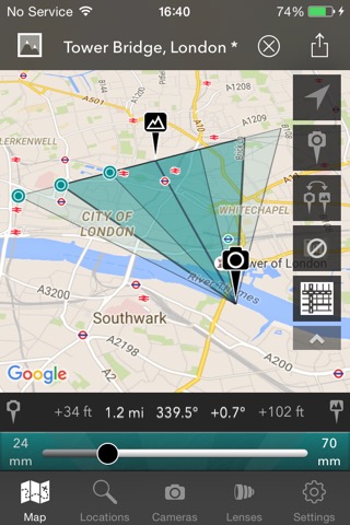
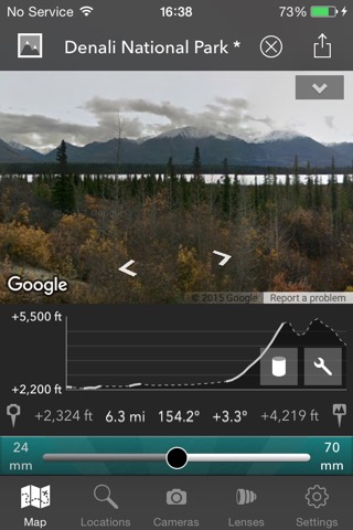
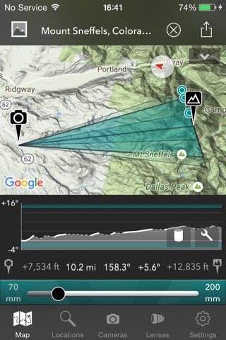
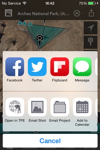
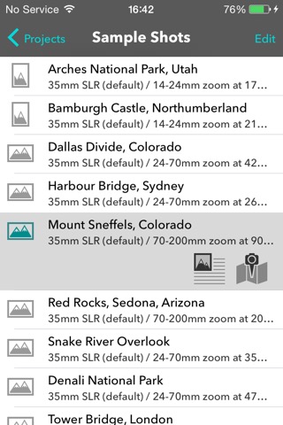
The Photographer's Transit
Crookneck Consulting LLC
¥1,300
iPhone / iPad対応
写真/ビデオ
ナビゲーション
64bit
|
60 Trend |
このアプリの話題とニュース
新バージョン2.4.1が配信開始。新機能や改善アップデートがされています。
2013年9月2日(月)にiPhoneとiPad両対応のユニバーサルアプリとしてリリース!
このレビュアーのおすすめコメント
最新更新情報
version2.4.1が、2018年11月28日(水)にリリース
- Fixes errors on location search
- Updated SDKs and libraries
|
5つ星
1
4つ星
1
3つ星
0
2つ星
0
1つ星
0
|
The Photographer's TransitのiPadアプリランキングや、利用者のリアルな声や国内や海外のSNSやインターネットでの人気状況を分析しています。
|
|
※この結果はThe Photographer's Transitのユーザー解析データに基づいています。
![]()
いつやるの?今でしょ!
※デモグラフィックデータを元にユーザー層の性別や年齢分布などを考慮して推定しています。

¥1,500→¥1,300 : 引越し先の部屋で、ダンボールの荷物を開けて、キレイに配置して美しいインテリアを完成させていく、荷解きパズルゲーム『Unpacking』が期間限定値下げ!
2024年05月13日 07:20

タクティクスオウガチームとFFチームのコラボで作られた骨太のシミュレーションRPG『ファイナルファンタジータクティクス 獅子戦争』が公式ストアのゲームダウンロード数で上位に
2024年05月11日 20:00

13万以上の用例から的確な表現を見つけられるアプリ『ウィズダム英和・和英辞典』が人気アプリとして話題沸騰!
2024年05月13日 08:00

スマホに入っている音楽データを、キーを変えたりスロー再生出来たりする、ボーカルや楽器演奏の練習に使えるサポートアプリ『Anytune(エニーチューン)』がネットで取り上げられ話題に
2024年05月11日 14:00

YouTubeのカラオケ動画を使って、無料でカラオケが出来るアプリ『うたスマ Movie』がネットで取り上げられ話題に
2024年05月12日 14:00