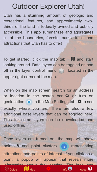
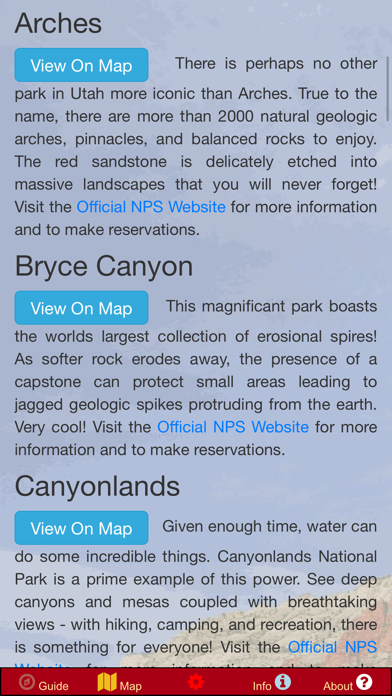
Utah is a geologic wonderland with an incredible amount of canyons, trails, and public land. About two-thirds of Utah is owned by the US Government or the State government and can be enjoyed by everyone! The recreational opportunities range from boating and swimming to rock climbing, bicycling, and hiking.
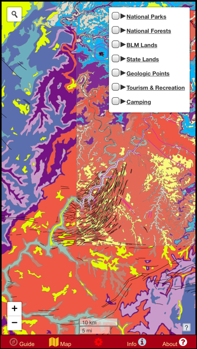
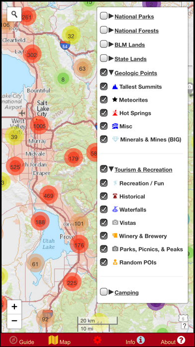
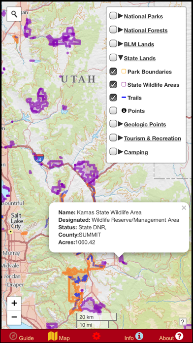
This app is a one-stop resource for all of the public lands in Utah. It includes boundaries, trails, and data points for State Parks, National Parks, BLM Lands, and National Forests, as well as a variety of other point-of-interest information. All points and lines featured in this app are interactive and provide more information in a popup when tapped. The data is supplied as an elegant digital map that can easily be customized to show only the points that interest you.
Some data sets include: Campgrounds, park offices, campsites, waterfalls, vistas, trailheads, hiking trails, tourist attractions, geologic points of interest, hot springs, meteorite recovery sites, boating access, and much more! Over 25,000 points are included, along with thousands of miles of trails and boundaries. Nobody else offers this much data aggregated into one convenient offline app. You do not want to explore Utah without this!
In addition to public data sets aggregated from around the internet, hundreds of independently mapped car campsites along roads in public lands are provided. This data set is proprietary and it is your key to finding the best free camping that Utah has to offer! Why pay $30/night to camp in a National Park when there are millions of acres of federal land where camping is free?
Never get lost again with GPS based navigation and location / coordinate searches are included. Always know exactly where you are so that you can see what attractions are nearby and find what you're after. The navigation feature will work even when your phone is in airplane mode!
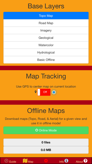
A variety of detailed basemaps are provided: a road map, topo map, geologic map, aerial imagery, and more! Several layers have the capability to be downloaded for offline use so that you never have to worry about having reception or using cellular data in the remote wildernesses of Utah. An offline road map with limited view levels is even bundled in for your convenience.
Relevant external links are included for reference and so that you can get the latest official information for a given park or forest without needing to search dozens of websites! Easily locate the major parks and forests and BLM land on the map with static programmed links that automatically pan and zoom the map to the area of interest. It doesn't get any simpler!
NOTE: A great deal of information is included in this app as offline data. The consequence of this is that the app can be a little slow to respond when toggling and viewing certain layers at distant zoom levels. This issue was left unresolved in order to offer the maximum amount of data feasible rather than the fastest performance. If you struggle with this on an older phone, zoom in to an area of interest first. Please have patience when loading these layers and understand this quirk before purchasing the app. If you have any other problems, contact us and we will make it right. Thanks!
GeoPOI LLC is a small, individually owned cartography business founded in Saint Paul, Minnesota. An immense amount of time and effort has gone in to this app in order to make it an invaluable tool for travelers and locals alike. By purchasing this app, you are essentially buying us a drink to fuel our efforts and ensure that quality apps like this will continue to be made in the future for other states. Thank you for your support! If you want to get a feel for the layout and format of the app before buying it, check out some of our other apps at https://geopoi.us
We welcome ideas for future updates; let us know what states you want to explore next!