アプリオンは、世界のアプリランキングや口コミから、おすすめアプリをまとめている人気アプリ探しサイトです。
アプリオンは、世界のアプリランキングや口コミから、おすすめアプリをまとめている人気アプリ探しサイトです。
「First Responder Support Tools」は、ARA Developerが配信する辞書/書籍アプリです。

First Responder Support Tools
ARA Developer
¥620
Android対応
書籍&文献
|
60 Trend |


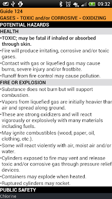


「First Responder Support Tools」は、ARA Developerが配信する辞書/書籍アプリです。
このアプリの話題とニュース
新バージョン4.2.1が配信開始。新機能や改善アップデートがされています。
最新更新情報
version4.2.1が、2017年11月7日(火)にリリース
|
5つ星
35
4つ星
4
3つ星
1
2つ星
2
1つ星
3
|
First Responder Support ToolsのAndroidアプリランキングや、利用者のリアルな声や国内や海外のSNSやインターネットでの人気状況を分析しています。
|
|
※この結果はFirst Responder Support Toolsのユーザー解析データに基づいています。

¥350→¥170 : 天気系アプリ『Meteo Weather Widget』が半額セール!
2024年05月05日 00:25

初代ロマンシング・サガをベースに、連携や閃きなどのシリーズの集大成システムを搭載した、フリーシナリオRPGリマスター版『ロマンシング サガ』が公式ストアのゲームダウンロード数で上位に
2024年05月05日 20:00

遺伝子パズルを解いて、自分だけのオリジナルのクリーチャーを作り出すキッズも楽しめるキャラクター作成ゲーム『DNA Play』が使えるアプリとして注目を集める
2024年05月04日 10:00

備前や常陸や安芸など、日本の各地方の旧国名を覚えられる、旧国名学習アプリ『あそんでまなべる 旧国名パズル』がネットで取り上げられ話題に
2024年05月05日 16:00

【新作】薩摩出身の戦国武将である島津義弘と共に、鹿児島の歴史や行事などの魅力に触れていく、鹿児島県制作の、女性向け戦国恋愛シミュレーションゲーム『うたた往時のなつかしや』のAndroid版が配信開始!
2024年05月03日 19:00
