アプリオンは、世界のアプリランキングや口コミから、おすすめアプリをまとめている人気アプリ探しサイトです。

NOAA Nautical Charts & Map [iPhone]

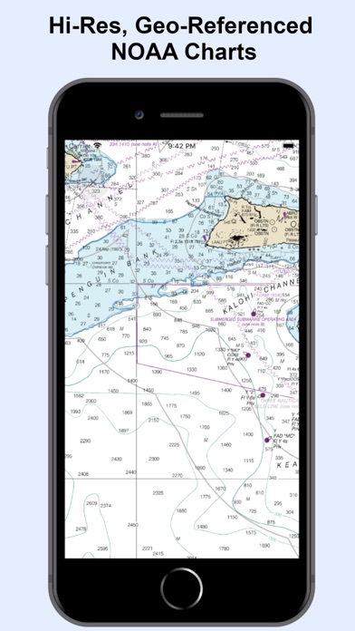
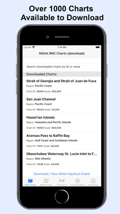
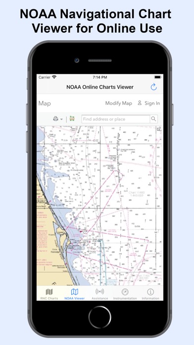
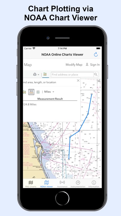
Amni LLCが配信するiPhoneアプリ「NOAA Nautical Charts & Map」の評価や口コミやランキング推移情報です。このアプリには「ナビゲーション」「ライフスタイル」などのジャンルで分類しています。APPLIONでは「NOAA Nautical Charts & Map」の他にもあなたにおすすめのアプリのレビューやみんなの評価や世界ランキングなどから探すことができます。

NOAA Nautical Charts & Mapのおすすめ画像1
NOAA Nautical Charts & Mapのおすすめ画像2
NOAA Nautical Charts & Mapのおすすめ画像3
NOAA Nautical Charts & Mapのおすすめ画像4
NOAA Nautical Charts & Mapのおすすめ画像5
NOAA Nautical Charts & Mapのおすすめ画像6
NOAA Nautical Charts & Mapのおすすめ画像7
NOAA Nautical Charts & Mapのおすすめ画像8
<
>

Amni LLCの地図/ナビアプリ

「NOAA Nautical Charts & Map」は、Amni LLCが配信する地図/ナビアプリです。

ナビゲーション ライフスタイル

このアプリの話題とニュース

  • 2020年11月17日(火)にiPhoneとiPad両対応のユニバーサルアプリとしてリリース!


最新更新情報

version1.2が、2020年11月20日(金)にリリース

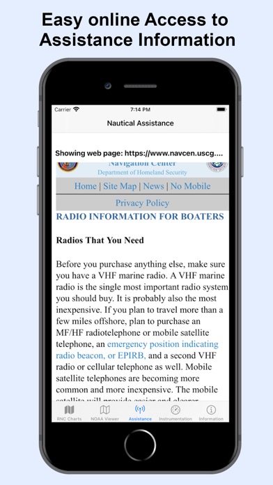
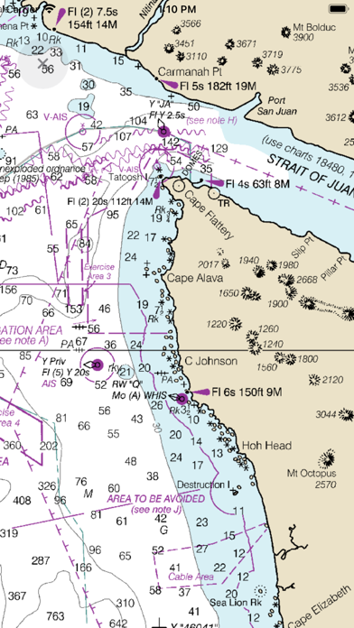
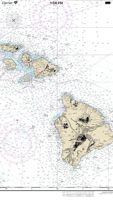
RNC Viewer integration for online Charts

使い方や遊び方

The premium and best app for Nautical Navigation Charts and Maps:
* 1000+ NOAA Raster Navigational Charts (RNC) available for download and for offline use. RNC are high resolution, full-color, geo-referenced, digital images of NOAA paper nautical charts.
* 1000+ NOAA Navigational Charts for online use that includes GPS location, navigation plotting and more.
* Basic instrumentation - GPS location, Longitude, Latitude and Device Compass.
* Assitance Support - Link to Navigation Center, Radio Information.for Boaters.


Additional information about the charts and data provided with this app:
NOAA RNC® charts are full-color, geo-referenced, digital images of NOAA paper nautical charts.


RNCs can be used with global positioning system (GPS) enabled electronic chart systems or other “chart plotter” display systems to provide real-time vessel positioning.


NOAA RNCs comply with the International Hydrographic Organization RNC Product Specification.


RNCs are approved for use by IMO ECDIS mandated vessels only if adequate ENC data is not available. Since complete ENC coverage is available in all U.S. waters, vessels required to use ECDIS may not navigate with NOAA RNCs.


NOAA RNCs DO NOT meet USCG chart carriage requirements for commercial vessels.


NOAA RNCs may be downloaded free from the NOAA chart locator or the NOAA nautical chart catalog.
----------


Electronic Navigational Charts (ENC) are vector data sets that support all types of marine navigation. Originally designed for large commercial vessels using a sophisticated navigational computer called an Electronic Chart Display and Information System (ECDIS), ENCs are now also being used on simpler electronic chart systems and “chart plotters” on many types of ships and by recreational boaters. NOAA ENCs help provide real-time ship positioning, as well as collision and grounding avoidance.


NOAA ENCs comply with the International Hydrographic Organization ENC Product Specification. ENCs are produced around the world by many different countries’ national hydrographic or charting agencies. NOAA maintains more than 1,000 NOAA ENC® datasets over U.S. coastal waters and the Great Lakes. The U.S. Army Corps of Engineers produces a similar product, called Inland ENC (IENC) for many U.S. rivers.

最新ストアランキングと月間ランキング推移

NOAA Nautical Charts & MapのiPhoneアプリランキングや、利用者のリアルな声や国内や海外のSNSやインターネットでの人気状況を分析しています。

基本情報

仕様・スペック

対応OS
13.0 以降
容量
939 K
推奨年齢
全年齢
アプリ内課金
なし
更新日
2020/11/20

リリース日
2020/11/17

集客動向・アクティブユーザー分析

オーガニック流入


アクティブ率


※この結果はNOAA Nautical Charts & Mapのユーザー解析データに基づいています。

利用者の属性・世代

アプリ解析デモグラフィックデータ(男女年代比率52%)

やばいよ、やばいよ~~

デモグラフィックデータを元にユーザー層の性別や年齢分布などを考慮して推定しています。

ネット話題指数

開発会社の配信タイトル

このアプリと同一カテゴリのランキング

スパイダーマン2 (PS5)
ソニー・インタラクティブエンタテインメント
amazon

Amni LLC のアプリ

Amni LLC の配信アプリ >

新着おすすめアプリ

新着おすすめアプリ >

注目まとめ

iPhoneアプリまとめ >