アプリオンは、世界のアプリランキングや口コミから、おすすめアプリをまとめている人気アプリ探しサイトです。
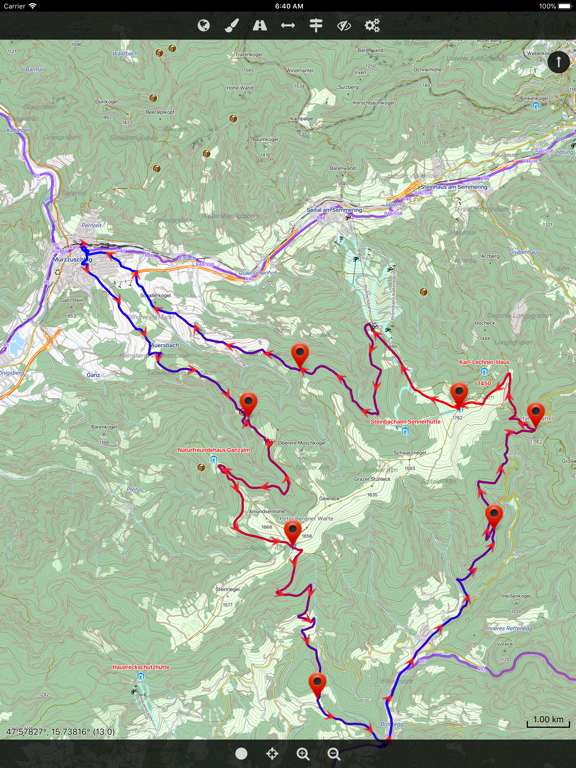
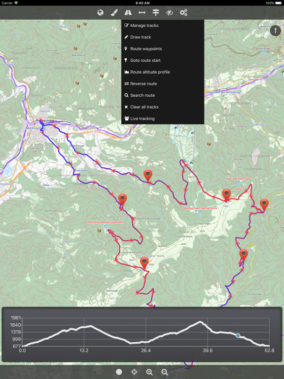
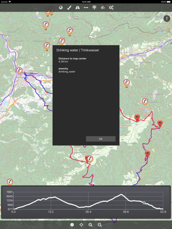
Cartograph 2 Lite Map Viewer [iPad]

Cartograph 2 Lite Map Viewerのおすすめ画像1
Cartograph 2 Lite Map Viewerのおすすめ画像2
Cartograph 2 Lite Map Viewerのおすすめ画像3
Cartograph 2 Lite Map Viewerのおすすめ画像4
Cartograph 2 Lite Map Viewerのおすすめ画像5
<
>

Harald Meyerの地図/ナビアプリ

「Cartograph 2 Lite Map Viewer」は、Harald Meyerが配信する地図/ナビアプリです。

ナビゲーション スポーツ

このアプリの話題とニュース

  • 新バージョン2.6.0が配信開始。新機能や改善アップデートがされています。


  • 2018年6月19日(火)にiPhoneとiPad両対応のユニバーサルアプリとしてリリース!


最新更新情報

version2.6.0が、2020年1月3日(金)にリリース

Bug fixes.

使い方や遊び方

The Cartograph Lite app views Mapsforge offline vector maps, offline raster maps, and online/WMS maps. It supports tracking, route search, overlays, hillshading, reliefs, track drawing, and has many other features.


Pro-version: https://itunes.apple.com/us/app/cartograph-2-maps/id1082995961?ls=1&mt=8


### Lite Version Features ###
- View Mapsforge offline vector maps.
- Offline raster maps: Locus SQLite maps, MBTiles, TwoWays/CompeGPS RMAP*, Oruxmaps SQLite*.
- Online map support (including WMS - Web Map Service maps), e.g. OpenStreetMap, OpenCycleMap, OpenSeaMap, WikiMedia hillshading.
- GPX import and export (basic KML import support).
- Scalable interface (e.g. to increase button sizes).
- Units: Celsius, Kelvin, Fahrenheit, metric, imperial, nautic.
- WaterSupply.at drinking water sources.
- Worldwide, free offline maps.
- Contour lines (Mapsforge maps).


### Additional Pro Features ###
- GPS Track recording.
- Full support for Mapsforge styling/render themes (including hillshading) and layers.
- Custom online map sources.
- Offline hillshading (from HGT/SRTM elevation data).
- Offline relief shading.
- Offline slope map.
- Support for Mapsforge multi-maps (multiple .map files stitched into a single map).
- Night/day mode.
- Manual track drawing and editing.
- Route altitude profile and elevation/slope visualization.
- Online route search.
- Live tracking and polling (using custom server, GPSies.com, or Cartograph server).
- Support for Mapsforge POIs, offline POI search, and dynamic POI loading.
- Compass.
- Decimal and degree coordinate modes.
- Customizable user interface color (dark, light, and colors) and size.
- Strava upload.


* RMAP and Oruxmaps use various map projections and support is experimental. Please contact us if a map does not work so that we can add support for your projection.


Further information: http://www.cartograph.eu
Getting started: https://www.cartograph.eu/gettingstarted
Help&Tutorial: https://www.cartograph.eu/docs


User manual: http://www.cartograph.eu/downloads/usermanual_en.pdf
YouTube how-to videos: https://www.youtube.com/watch?v=dn9EOg5h3yY&list=PLP8X6xYv-qCz46hplsfGLW1LNgywBZrTk


Full version: https://itunes.apple.com/us/app/cartograph-2-maps/id1082995961?ls=1&mt=8


Drop us a line if you have questions, feature requests, or other comments: http://www.cartograph.eu/contact


### Maps ###
- OpenAndroMaps.org: very good maps for outdoor activities.

最新ストアランキングと月間ランキング推移

Cartograph 2 Lite Map ViewerのiPadアプリランキングや、利用者のリアルな声や国内や海外のSNSやインターネットでの人気状況を分析しています。

基本情報

仕様・スペック

対応OS
11.0 以降
容量
52.1 M
推奨年齢
全年齢
アプリ内課金
なし
更新日
2020/01/03

リリース日
2018/06/19

集客動向・アクティブユーザー分析

オーガニック流入


アクティブ率


※この結果はCartograph 2 Lite Map Viewerのユーザー解析データに基づいています。

利用者の属性・世代

アプリ解析デモグラフィックデータ(男女年代比率52%)

気合だっ!気合だっ!気合だーーー!!!

デモグラフィックデータを元にユーザー層の性別や年齢分布などを考慮して推定しています。

ネット話題指数

開発会社の配信タイトル

このアプリと同一カテゴリのランキング

新型 PlayStation 5 デジタル・エディション(CFI-2000B01)
任天堂
amazon

Harald Meyer のアプリ

Harald Meyer の配信アプリ >

新着おすすめアプリ

新着おすすめアプリ >

注目まとめ

iPadアプリまとめ >