アプリオンは、世界のアプリランキングや口コミから、おすすめアプリをまとめている人気アプリ探しサイトです。
アプリオンは、世界のアプリランキングや口コミから、おすすめアプリをまとめている人気アプリ探しサイトです。

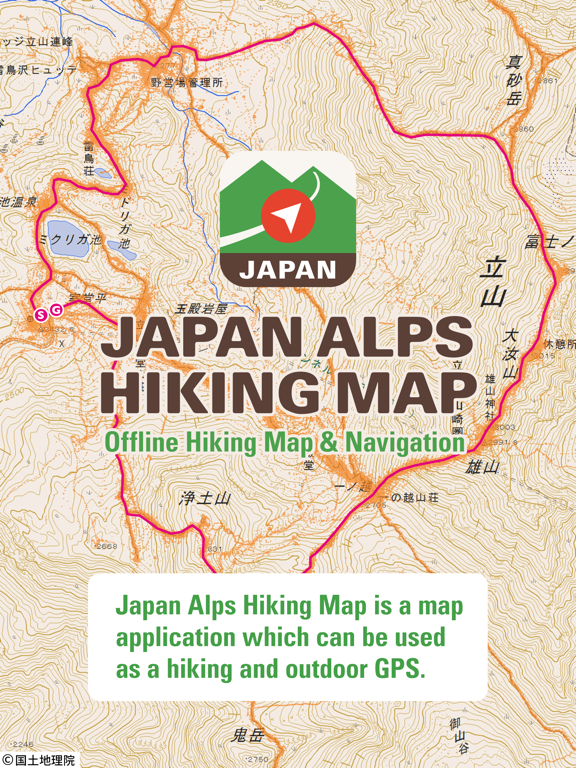
Japan Alps Hiking Map
YAMARECO INC.
無料
iPhone / iPad対応
スポーツ
旅行
64bit
|
74 Trend |

このアプリの話題とニュース
新バージョン1.11が配信開始。新機能や改善アップデートがされています。(6/8)
2017年8月11日(金)にiPhoneとiPad両対応のユニバーサルアプリとしてリリース!
このレビュアーのおすすめコメント
Great Hiking app and so helpful even during free using the current map, you can manage well
Good app - ★★★★★
最新更新情報
version1.11が、2023年6月8日(木)にリリース
Version 1.11
- Fixed a bug that caused failure when importing a GPX file.
|
5つ星
3
4つ星
2
3つ星
1
2つ星
0
1つ星
0
|
Japan Alps Hiking MapのiPadアプリランキングや、利用者のリアルな声や国内や海外のSNSやインターネットでの人気状況を分析しています。
|
|
※この結果はJapan Alps Hiking Mapのユーザー解析データに基づいています。
1位: Two Weeks Ticket (700円)
2位: One Year Ticket (6000円)
3位: One Month Ticket (1200円)
4位: Six Months Ticket (4500円)
5位: Three Months Ticket (3000円)
![]()
・・・だが断るッ!!
※デモグラフィックデータを元にユーザー層の性別や年齢分布などを考慮して推定しています。

¥2,200→¥1,300 : メディカル系アプリ『Skull, Teeth & TMJ』が期間限定値下げ!
2024年04月30日 13:25

不思議な世界へ繋がる4冊の本の謎を解く、本格謎解き脱出アドベンチャーゲーム『魅惑的な世界』へのアクセス利用数が伸びる
2024年04月29日 13:00

ダンジョン探索をしながらレベルを上げる、2D横スクロールアクションRPG『月の伝説』がゲームアプリ内で話題に
2024年04月27日 17:00

馬主となり競走馬を育て主要レースを勝ち進み三冠王を目指す、競馬系経営シミュレーションゲーム『G1牧場ステークス』が公式ストアのゲームダウンロード数で上位に
2024年04月28日 21:00

スーパーマーケットの店長となり、一人称視点で商品の発注から陳列から会計までを行っていく、3Dシミュレーター『スーパーマーケットシミュレーター』がネットで取り上げられ話題に
2024年04月30日 16:00