アプリオンは、世界のアプリランキングや口コミから、おすすめアプリをまとめている人気アプリ探しサイトです。
アプリオンは、世界のアプリランキングや口コミから、おすすめアプリをまとめている人気アプリ探しサイトです。
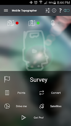
「Mobile Topographer Free」は、S.F. Applicality Ltd.が配信する仕事系ツールアプリです。

Mobile Topographer Free
S.F. Applicality Ltd.
無料
Android対応
仕事効率化
|
60 Trend |
「Mobile Topographer Free」は、S.F. Applicality Ltd.が配信する仕事系ツールアプリです。
このアプリの話題とニュース
100万ダウンロード突破!
平均スコア4.0を超える満足度の高いアプリで利用者に好評です。(5/17)
6900人を超える、評価・クチコミ投稿者数となっています。(5/17)
新バージョン9.3.2が配信開始。新機能や改善アップデートがされています。
最新更新情報
version9.3.2が、2019年5月22日(水)にリリース
|
5つ星
4,997
4つ星
850
3つ星
400
2つ星
150
1つ星
550
|
Mobile Topographer FreeのAndroidアプリランキングや、利用者のリアルな声や国内や海外のSNSやインターネットでの人気状況を分析しています。
|
|
※この結果はMobile Topographer Freeのユーザー解析データに基づいています。
![[KNA003] SHADOW](https://play-lh.googleusercontent.com/qiSm_69KUMq3rojAniq8bzwAIvZguS47pxfMtmD4zkY4fBv3TxRdrJ4K6-pfUMxfqXE=w78)
¥210→¥40 : アート・デザイン系アプリ『[KNA003] SHADOW』が81%オフの大幅値下げ!
2024年06月03日 00:25

モンスターマスターを目指すイルルカ兄妹となり、モンスターをスカウトし、配合して新たな特技を持つモンスターを育てる、モンスター収集バトルRPG『ドラゴンクエストモンスターズ2 イルとルカの不思議な鍵SP』がネットで話題に
2024年06月02日 20:00

戦乙女ヴァルキリーとなり、英雄たちを魂を集め育て上げる、神界戦争の背後に潜む企みに迫る、北欧神話をベースとした名作アクションバトルRPG『ヴァルキリープロファイル VALKYRIE PROFILE』がゲームアプリ内で話題に
2024年06月02日 21:00

野菜や果物を合成してコインを集め、キャンプ場をもり立てていく、マージパズルゲーム『マージ·キャンプ』が楽しめる無料ゲームとして注目される
2024年05月31日 12:00

【新作】美少女戦士が忍術で村を守る、ディフェンスRPG『ニャンニャン忍び』のAndroid版がリリース!
2024年06月02日 16:00


