アプリオンは、世界のアプリランキングや口コミから、おすすめアプリをまとめている人気アプリ探しサイトです。
アプリオンは、世界のアプリランキングや口コミから、おすすめアプリをまとめている人気アプリ探しサイトです。
「Guthook's Pacific Crest Trail Guide」は、AtlasGuidesが配信する地図/旅行アプリです。

Guthook's Pacific Crest Trail Guide
AtlasGuides
無料
Android対応
旅行&地域
|
60 Trend |
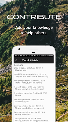
「Guthook's Pacific Crest Trail Guide」は、AtlasGuidesが配信する地図/旅行アプリです。
このアプリの話題とニュース
1万ダウンロード突破!
レビュースコア4.5をマークしている高評価の優良アプリです。(4/22)
600人を超える、評価・クチコミ投稿者数となっています。(4/22)
新バージョン8.3.8が配信開始。新機能や改善アップデートがされています。
最新更新情報
version8.3.8が、2021年9月22日(水)にリリース
|
5つ星
523
4つ星
43
3つ星
18
2つ星
18
1つ星
12
|
Guthook's Pacific Crest Trail GuideのAndroidアプリランキングや、利用者のリアルな声や国内や海外のSNSやインターネットでの人気状況を分析しています。
|
|
※この結果はGuthook's Pacific Crest Trail Guideのユーザー解析データに基づいています。

¥1,800→¥1,440 : キャラクターの相性や地形を見極めて配列しタクティカルカードで戦う、ターン制シミュレーションRPG『ユグドラ・ユニオン YGGDRA UNION』が期間限定値下げ!
2024年04月27日 00:25

¥2,400→¥1,200 : 現在・過去・未来、そして幻獣界を行き来しながら、時のクリスタルにまつわる冒険に出る、古き良きFFが楽しめるサイドビュー型アクティブコマンドバトルRPG『FINAL FANTASY LEGENDS II 時空ノ水晶』が半額セール!
2024年04月26日 00:25

音声でのみ入力が可能で、テキストに変換して投稿してくれる、米国を中心に爆発的な注目を集めている、新世代音声SNS『Airchat』がネットで話題に
2024年04月26日 18:00

イラストをタッチするだけで、どうぶつや乗り物の名前を読み上げてくれる、物の名前や言葉を覚えられる知育アプリ『タッチ!ことばランド 2歳から遊べる言葉を育む子供向けアプリ』が無料アプリのマーケットトレンドに
2024年04月26日 10:00

Googleが贈る、1対1でビデオ通話が出来るFaceTimeライクなテレビ電話アプリ『Google Meet』が無料アプリのマーケットトレンドに
2024年04月26日 08:00
