アプリオンは、世界のアプリランキングや口コミから、おすすめアプリをまとめている人気アプリ探しサイトです。

RipCharts [iPhone]

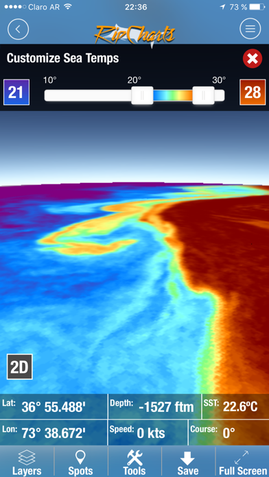
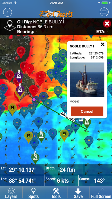
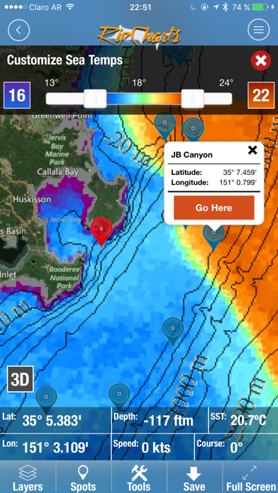
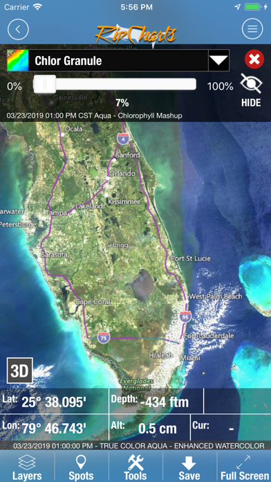
RipChartsが配信するiPhoneアプリ「RipCharts」の評価や口コミやランキング推移情報です。このアプリには「スポーツ」「ナビゲーション」などのジャンルで分類しています。APPLIONでは「RipCharts」の他にもあなたにおすすめのアプリのレビューやみんなの評価や世界ランキングなどから探すことができます。

RipChartsのおすすめ画像1
RipChartsのおすすめ画像2
RipChartsのおすすめ画像3
RipChartsのおすすめ画像4
RipChartsのおすすめ画像5
RipChartsのおすすめ画像6
RipChartsのおすすめ画像7
RipChartsのおすすめ画像8
RipChartsのおすすめ画像9
RipChartsのおすすめ画像10
<
>

RipChartsのスポーツアプリ

「RipCharts」は、RipChartsが配信するスポーツアプリです。

スポーツ ナビゲーション

このアプリの話題とニュース

  • 大人の男性スマホユーザーに人気が出てきています。


  • 新バージョン2.7.7が配信開始。新機能や改善アップデートがされています。(12/8)


  • 2015年6月3日(水)にiPhoneとiPad両対応のユニバーサルアプリとしてリリース!


最新更新情報

version2.7.7が、2023年12月8日(金)にリリース

bug fixes due to recent iOS update

使い方や遊び方

Welcome to RipCharts, an industry leader in satellite fishing maps. This app is free to download for existing RipCharts Premium subscribers. If you are new to RipCharts, then we allow you to purchase a new RipCharts subscription via an In App Purchase. Please contact us if you have questions or would like a complementary demo


The RipCharts mobile app is a powerful tool that enables offshore fishermen to evaluate recent satellite imagery in order to determine favorable fishing conditions. Search for, view, and download maps of near realtime satellite imagery onto your device to take with you offshore.


View the latest imagery datasets:
Raw SST orbit scans
Composite SST (1day, 3day)
Multi-Res/Cloud Free SST
Sub-Surface SST. 0m, -25m, -50m, -100m
5 day SST forecast models
Chlorophyll
Chlorophyll/Cloud mashups
Chlorophyll composites
True Color
Altimetry
Currents
Salinity
Bathymetry


Map Features:
Use the multi touch map to zoom, pan, view waypoints, and overlay additional data layers to gain insight into where the most favorable fishing zones are located.


Mapping Tools:
Measure distances and headings between points
Dynamically customize temp/color ranges on SST maps to identify subtle breaks - powerful feature!
Overlay bathymetry, altimetry, currents, and Loran layers
Tap the map to receive point information (lat, lon, depth, SST)
Popular waypoints and fishing hotspots come pre-loaded
Manage your personal waypoints (add, edit, delete)
Save imagery to your device for offline/offshore use
Show your position and navigate on saved imagery using GPS satellites
"Go Here" navigation with bearing, ETA, and speed displays
Floater oil rig positions updated twice daily (Gulf of Mexico only)

最新ストアランキングと月間ランキング推移

RipChartsのiPhoneアプリランキングや、利用者のリアルな声や国内や海外のSNSやインターネットでの人気状況を分析しています。

基本情報

仕様・スペック

対応OS
11.0 以降
容量
164 M
推奨年齢
全年齢
アプリ内課金
あり
更新日
2023/12/08

リリース日
2015/06/03

集客動向・アクティブユーザー分析

オーガニック流入


アクティブ率


※この結果はRipChartsのユーザー解析データに基づいています。

アプリ内課金の売れ筋ランキング

  • 1位: NZ - New Zealand South (25000円)

  • 2位: NZ - New Zealand North (25000円)

  • 3位: AU - WA/Perth (25000円)

  • 4位: AU - WA/Exmouth (25000円)

  • 5位: AU - South Aus/Adelaide (25000円)

  • 6位: AU - South Aus/Victoria (25000円)

  • 7位: AU - Tasmania/Victoria (25000円)

  • 8位: AU - NSW/Sydney (25000円)

  • 9位: AU - Queensland/NSW/Brisbane (25000円)

  • 10位: AU - Queensland/Mackay (25000円)

利用者の属性・世代

アプリ解析デモグラフィックデータ(男女年代比率66%)

んんん~~どうでしょ~~~~

デモグラフィックデータを元にユーザー層の性別や年齢分布などを考慮して推定しています。

ネット話題指数

開発会社の配信タイトル

このアプリと同一カテゴリのランキング

のっけるふりかけ 鮭明太
丸美屋
amazon

新着おすすめアプリ

新着おすすめアプリ >

注目まとめ

iPhoneアプリまとめ >

ダウンロード数が多いおすすめアプリ

無料ゲームアプリランキング >