アプリオンは、世界のアプリランキングや口コミから、おすすめアプリをまとめている人気アプリ探しサイトです。

South Downs Maps Offline [iPhone]

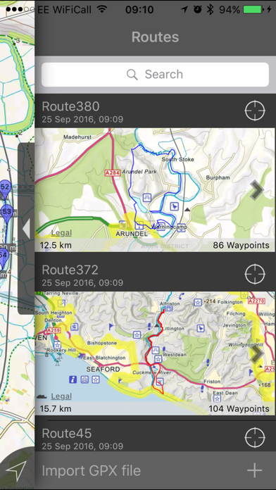
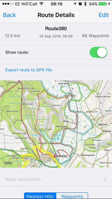
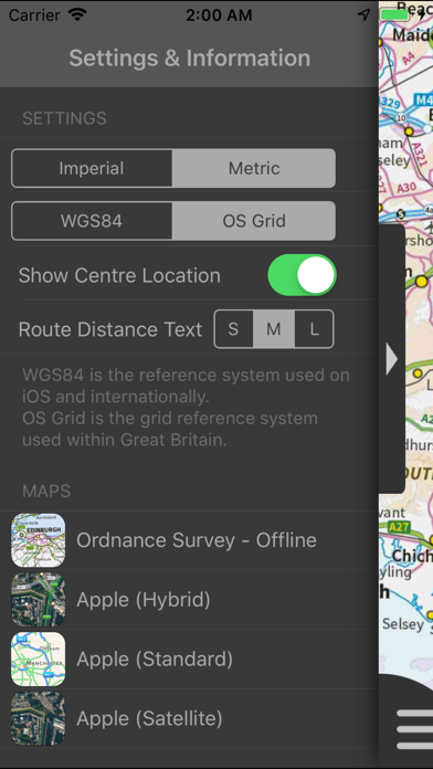
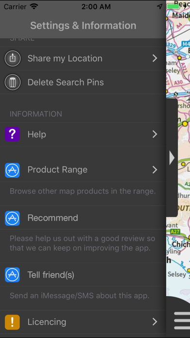
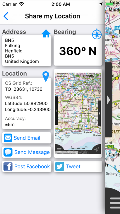
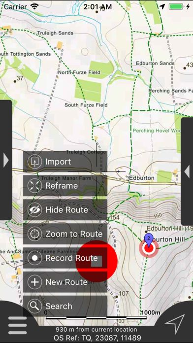
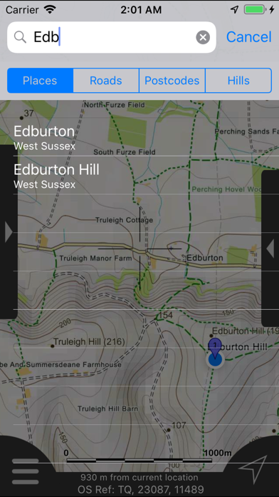
JOMO Solutions Ltdが配信するiPhoneアプリ「South Downs Maps Offline」の評価や口コミやランキング推移情報です。このアプリには「ナビゲーション」「旅行」などのジャンルで分類しています。APPLIONでは「South Downs Maps Offline」の他にもあなたにおすすめのアプリのレビューやみんなの評価や世界ランキングなどから探すことができます。

South Downs Maps Offlineのおすすめ画像1
South Downs Maps Offlineのおすすめ画像2
South Downs Maps Offlineのおすすめ画像3
South Downs Maps Offlineのおすすめ画像4
South Downs Maps Offlineのおすすめ画像5
South Downs Maps Offlineのおすすめ画像6
South Downs Maps Offlineのおすすめ画像7
South Downs Maps Offlineのおすすめ画像8
South Downs Maps Offlineのおすすめ画像9
South Downs Maps Offlineのおすすめ画像10
<
>

JOMO Solutions Ltdの地図/ナビアプリ

「South Downs Maps Offline」は、JOMO Solutions Ltdが配信する地図/ナビアプリです。

ナビゲーション 旅行

このアプリの話題とニュース

  • 新バージョン2.1.1が配信開始。新機能や改善アップデートがされています。


  • 2015年3月7日(土)にiPhoneとiPad両対応のユニバーサルアプリとしてリリース!


最新更新情報

version2.1.1が、2018年12月3日(月)にリリース

Fixed intermittent failures within the search functionality.

If you like the app please leave an app review.

使い方や遊び方

From the producers of GB Maps (featured in Ordnance Survey's OS OpenData innovative application showcase)


Beautifully detailed maps supplied by Ordnance Survey.


South Downs Maps provides a useful offline (no mobile signal required) mapping reference and navigation aid whilst travelling throughout the South Downs by footpath, road, rail, canal, lake and river.  Intuitive route and waypoint management features are implemented enabling creation, modification, deletion, import and export of routes. A powerful offline search facility can locate places, roads, post codes and hills within the region.   Worldwide online Apple Maps (Standard, Satellite and Hybrid) with map features that users are used to are available on both offline and online maps as well as providing 3D buildings on Apple maps (where available).


Maps


7 different levels of offline 2014/5 Ordnance Survey map detail from national overview to street view within the region. (No data connection required)
Progressively more detailed maps are automatically loaded as the map view is zoomed. The OS recommended viewing scales for the more detailed maps are approximately as follows:


1:1000,000 (Whole GB)
1:250,000
1:50,000
1:25,000
1:10,000 (Roads/streets labelled)


The map region of the more detailed maps covers a rectangular region around the national park boundary (ref. http://jomosolutions.com/Maps).


- Contours with height information and annotated height points
- Extensive footpaths from ©OpenStreetMap contributors
- National Park boundary demarkation


App


- Route/Waypoint management
- Offline search functionality with searchable locations (places, roads, post codes and hills). (For the place search a location's latitude and longitude is accurate to 0.1 of a minute of the centre point of the 1x1 km National Grid square in which the name falls)
- Detailed hill information, including height, OS Grid Ref, latitude and longitude, region, parent, classification, drop and hill specific links to Streetmap, Geograph and Hill Bagging web sites
- Display of current GPS position as OS Grid Reference or WGS84 latitude and longitude
- "Share My Location" allowing users to share an image of their current location and location references.  Buttons are provided to share location information by Facebook, Twitter, iMessage/SMS and e-mail
- Online access to worldwide Apple Standard, Satellite and Hybrid maps
- Apple 3D Buildings are displayed on Apple Standard maps
- Apple maps contain Points of Interest
- User location can be tracked with or without heading on all online and offline maps (GPS capable devices only)
- Display of scale bar in either metric or imperial units
- Display of current speed
- Zoom, pan, rotation of all maps
- Pitch of Apple Standard and Ordnance Survey maps
- Selection of current location annotation for display of speed and location data
- User setting for speed display in Miles per Hour (mph) or Kilometres per Hour (kph)
- Selection of search result pin annotations to display location information
- Collective deletion of search result annotation pins
- A user guide is provided within


The OS search data was published by Ordnance Survey in 2014.
Extracts from "The Database of British and Irish Hills" v14 published 22/04/2014 (ref. http://www.hills-database.co.uk/index.html )


No warranty


The data is supplied by Apple, Ordnance Survey, contributors to OpenStreetMap and Database of British and Irish Hills.


The Information is licensed 'as is' and the Information Provider and/or Licensor excludes all representations, warranties, obligations and liabilities in relation to the Information to the maximum extent permitted by law.


The Information Provider and/or Licensor are not liable for any errors or omissions in the Information and shall not be liable for any loss, injury or damage of any kind caused by its use.


This app is not a substitute for a paper map and compass.

最新ストアランキングと月間ランキング推移

South Downs Maps OfflineのiPhoneアプリランキングや、利用者のリアルな声や国内や海外のSNSやインターネットでの人気状況を分析しています。

基本情報

仕様・スペック

対応OS
8.0 以降
容量
681 M
推奨年齢
全年齢
アプリ内課金
なし
更新日
2018/12/03

リリース日
2015/03/07

集客動向・アクティブユーザー分析

オーガニック流入


アクティブ率


※この結果はSouth Downs Maps Offlineのユーザー解析データに基づいています。

利用者の属性・世代

アプリ解析デモグラフィックデータ(男女年代比率52%)

犯人はこの中にいる!

デモグラフィックデータを元にユーザー層の性別や年齢分布などを考慮して推定しています。

ネット話題指数

開発会社の配信タイトル

このアプリと同一カテゴリのランキング

野田クリスタルのこんなゲームが作りたい! Scratch
野田クリスタル
amazon

JOMO Solutions Ltd のアプリ

JOMO Solutions Ltd の配信アプリ >

新着おすすめアプリ

新着おすすめアプリ >

注目まとめ

iPhoneアプリまとめ >