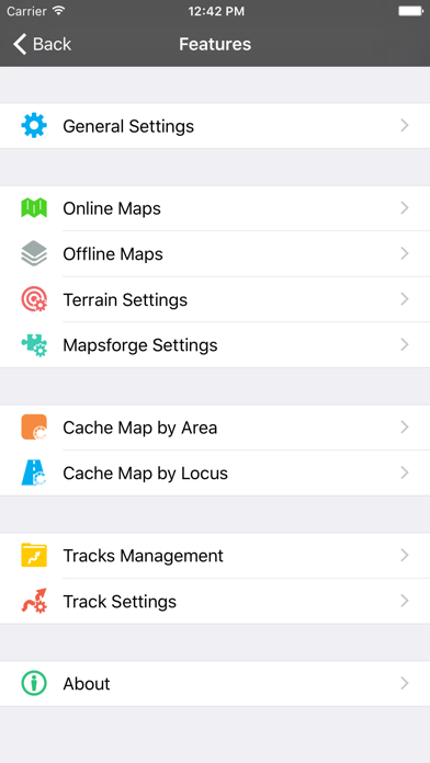
FarigMaps is a professional navigation & tracking app designed for outdoor activities.with FarigMaps, you can add contour lines to any map, use Mapsforge offline vector maps, Gps navigation and record track. FarigMaps is ready to fully replace your handheld GPS navigation and be your everyday assistant in the field.
Tips:
Continued use of GPS running in the background can dramatically decrease battery life.
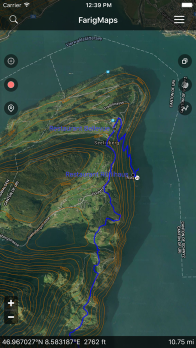
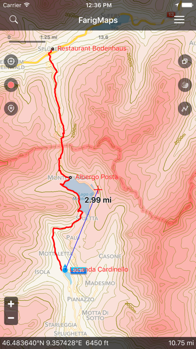
●Contour lines and Terrain rendering
Quickly adding the contour interval to any map is the basic idea of FarigMaps. The contour interval allows you to instantly know the relative steepness & flatness of the topography in the map at one quick glance. The contour lines and terrain rendering give you an accurate representation of the terrain you must cross on your trip.you can also determine the elevation level of any intermediate point on a map from the contour lines that surround it.
In FarigMaps, just a click can help you add the contour lines to the map.When you don’t need them, you can close the contour layer.
●GPS Navigation
FarigMaps is the best choice for navigation on your hiking, running, trailing, hunting, sailing, geocaching, off-road trips. Import your own tracks and points of interest and let yourself navigate to your favourite destination. FarigMaps is ready to fully replace your handheld GPS navigation and be your everyday assistant in the field.
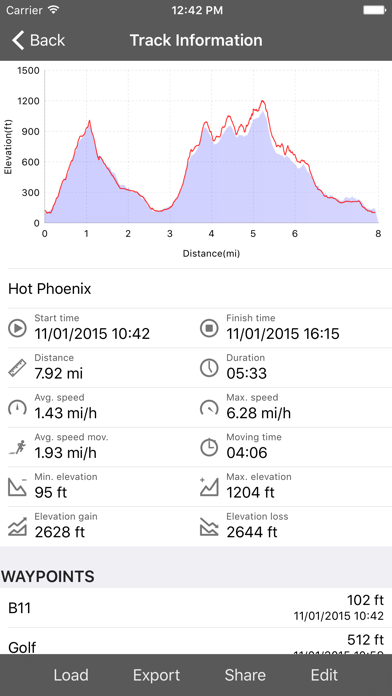
●Track Recording
It does not matter if you run, ride a bike or fly. With FarigMaps you can record tracks of all your trips or sports training and track the speed and travelled distance. Each recorded track contains detailed information on the length, total time, but also, for example, data on elevation and elevation profile.
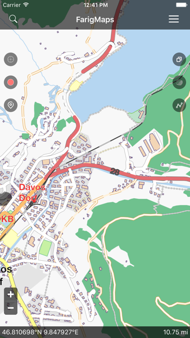
●Offline Maps
Using offline maps without an Internet connection is allowed by FarigMaps. You can import your own personal maps into the app.FarigMaps allows you to import Mapsforge offline vector maps and MBTiles files.
●Cache Online Maps
When you browse the online map, the Legend of the map you have browsed will be automatically cached, and will remain available even while being out of cell coverage. Moreover, you can cache the online map by area or by your own track.
●Works with GPX/KML/KMZ Files
FarigMaps works with GPX/KML/KMZ files, the standard format to store waypoints, tracks and routes. These files (GPX/KML/KMZ) can be copied from and to your PC through Apple iTunes or AirDrop.
You can follow a track previously recorded or copied from your PC. All waypoints, tracks and routes are shown on the map.
● And More
You can import or export the GPX/KML/KMZ files and offline maps, or share them with your friends though Email.
By FarigMaps, you can know the distance between your current position and a designated position, can know the altitude of any position on the map which has been added the Contour Interval.
When record track in the background. The app will close other unrelated functions to save more power.