アプリオンは、世界のアプリランキングや口コミから、おすすめアプリをまとめている人気アプリ探しサイトです。

iGIS for iPad [iPad]

iGIS for iPad

無料  iPad専用 ナビゲーション ビジネス 64bit 3.0 売上順位:ナビゲーション 122位 (iPad)

83
Trend
  • 入賞・受賞歴 月間ナビゲーション部門最高ランキング 104位を獲得!(4/12)
iGIS for iPadのおすすめ画像1
iGIS for iPadのおすすめ画像2
iGIS for iPadのおすすめ画像3
iGIS for iPadのおすすめ画像4
iGIS for iPadのおすすめ画像5
<
>

Geometryの地図/ナビアプリ

「iGIS for iPad」は、Geometryが配信する地図/ナビアプリです。

ナビゲーション ビジネス

このアプリの話題とニュース

  • 新バージョン8.4.11が配信開始。新機能や改善アップデートがされています。


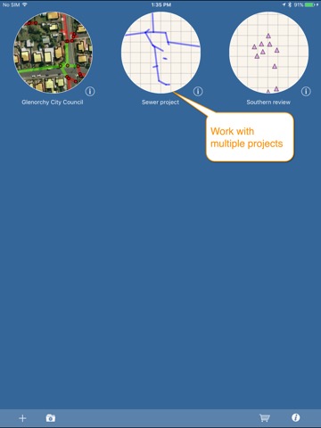
  • 2010年8月25日(水)にiPad版がリリース!


最新更新情報

version8.4.11が、2021年2月23日(火)にリリース

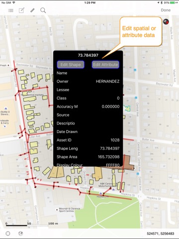
Added support for GDA 2020

使い方や遊び方

iGIS - The world's first and leading iOS GIS.


True GIS functionality is now available on the iPad! Your iPad. Your data. Your maps.


iGIS represents a new era in mobile GIS solutions by enabling users to load, view, investigate, create and export their own data over a background of map service imagery.


Importing data is easy with our unique data import facility supporting Mac, PC and Linux or via the USB cable. ESRI Shapefiles (.shp) are supported at the moment.


Great for field work as your spatial data is stored on the iPad, so there is no need for an Internet connection to see your data. We also support over 3000 projections, so there is no need for data re-projection.

We include support for multiple layers of points, lines, and polygons and imagery – all styled as you like.

Add comments to your maps - A point layer is added with a name and description field. You can add or edit any of your layers - and even define your own data entry forms with dropdown lists for codes, etc.


Export your layers to ESRI shapefiles for use back in your enterprise.

Other features include:

- Great speed, using our multi-threaded map renderer.
- Support for large datasets.
- Add your own imagery
- Import and export of ESRI Shapefiles.
- Display current GPS location in your chosen projection ( + compass)
- Zoom to current location
- Zoom to data extent
- Map Pan, zoom in, zoom out
- Changeable drawing styles for a layer: size, color, transparency
- Set the draw order and visibility of map layers
- Set the zoom scale for layers via a simple slider
- Select and interrogate feature attributes via point and click

This application is designed for GIS professionals and an understanding of some basic GIS concepts such as layers, shapefiles, projections etc, would make using iGIS simpler. Please let us know if concepts in iGIS are unclear.

We know there’s a lot more functionality that we haven’t included. Let us know what features you’d like to see added or improved.


iGIS can use the GPS in the background. Continued use of GPS running in the background can dramatically decrease battery life.

Thanks for your interest,

The Geometry Team

カスタマーレビュー・評価

3.0
5つ星
 
0
4つ星
 
0
3つ星
 
1
2つ星
 
0
1つ星
 
0

最新ストアランキングと月間ランキング推移

iGIS for iPadのiPadアプリランキングや、利用者のリアルな声や国内や海外のSNSやインターネットでの人気状況を分析しています。

基本情報

仕様・スペック

対応OS
9.0 以降
容量
78.4 M
推奨年齢
全年齢
アプリ内課金
あり
更新日
2021/02/23

リリース日
2010/08/25

集客動向・アクティブユーザー分析

オーガニック流入


アクティブ率


※この結果はiGIS for iPadのユーザー解析データに基づいています。

アプリ内課金の売れ筋ランキング

  • 1位: iGIS Pro 1 year subscription (4500円)

  • 2位: iGIS Pro - 1 month subscription (1500円)

利用者の属性・世代

アプリ解析デモグラフィックデータ(男女年代比率52%)

あると思いますっ!

デモグラフィックデータを元にユーザー層の性別や年齢分布などを考慮して推定しています。

ネット話題指数

開発会社の配信タイトル

このアプリと同一カテゴリのランキング

ピクミン4
任天堂
amazon

新着おすすめアプリ

新着おすすめアプリ >

注目まとめ

iPadアプリまとめ >

ダウンロード数が多いおすすめアプリ

無料ゲームアプリランキング >