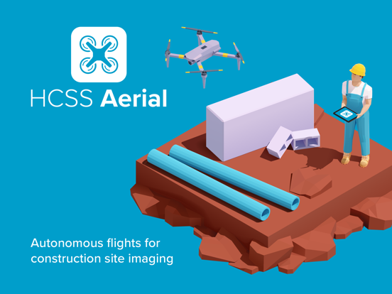
Pair your drone with this smart app to capture high-resolution images of your construction job sites. We make it easy with fully-automated flights that you can set up once and execute over the length of your projects for accurate job site mapping, data visualization, and safety insights.
~~~~~ Plan your missions. ~~~~~
Enjoy simple and intuitive flight planning in the office or directly in the field.
SMART settings for safe and successful missions, every time:
• Auto-fly home when the drone, controller, or iPad battery drops below a specified threshold. Simply swap batteries and resume the mission.
• Set the max distance between the drone and the controller.
• Define the flight height range, choose between stationary and motion image captures, select image resolution, and more.
EFFICIENT image captures per mission type:
• Grid: Capture images in vertical mode (bird’s eye view), within a defined area.
• Corridor: Capture images along an elongated path, such as a road or railway, in vertical mode.
• Oblique: Capture images at an angle while circling the object of interest (great for 3D modeling).
EASY ways to define your flight area:
• Simply tap or drag to draw your area of interest on a map.
• You can also draw your polygons on Google Earth, and then upload the KML/KMZ files to the HCSS Aerial app.
• The app determines the drone’s flight path within the area, based on your settings.
• Flight duration, distance, images, and required memory and batteries are auto-calculated to help you prepare for a successful flight.
~~~~~ Watch your drone do all the work. ~~~~~
Simply connect your drone to the app, and execute your mission plan with confidence. Get professional drone images with just a few taps and swipes on your iPad.
• On a remote job site with no Internet connection? No problem. HCSS Aerial is capable of offline flights.
• Get preflight checks and calibrations to keep the drone and pilot safe.
• See real-time data and images during flights.
• Re-execute the same mission to discover variants and track job progress over time.
~~~~~ Analyze job site images. ~~~~~
Back in the office, upload the high-resolution images from the drone’s memory card to hcss-aerial.com to analyze job progress, calculate earthwork volumes, perform safety inspections, and more.