アプリオンは、世界のアプリランキングや口コミから、おすすめアプリをまとめている人気アプリ探しサイトです。
アプリオンは、世界のアプリランキングや口コミから、おすすめアプリをまとめている人気アプリ探しサイトです。
「WaterNav Norfolk Broads」は、River Canal Rescueが配信する地図/ナビアプリです。

WaterNav Norfolk Broads
River Canal Rescue
¥774
Android対応
地図&ナビ
|
60 Trend |
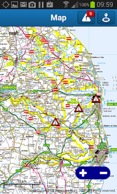


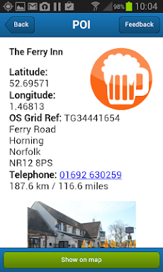
「WaterNav Norfolk Broads」は、River Canal Rescueが配信する地図/ナビアプリです。
このアプリの話題とニュース
女子高生や女子大生を中心に利用者層が増えてきています。
新バージョン1.0.97が配信開始。新機能や改善アップデートがされています。
最新更新情報
version1.0.97が、2018年4月6日(金)にリリース
|
5つ星
2
4つ星
2
3つ星
4
2つ星
1
1つ星
8
|
WaterNav Norfolk BroadsのAndroidアプリランキングや、利用者のリアルな声や国内や海外のSNSやインターネットでの人気状況を分析しています。
|
|
※この結果はWaterNav Norfolk Broadsのユーザー解析データに基づいています。

¥2,400→¥700 : 伝説のRPGが今蘇る!完全リマスターされ、新職業や新シナリオ、新ダンジョンも追加された大作RPG『ロマンシング サガ2』が71%オフの大幅値下げ!
2024年04月22日 20:25

クレヨンしんちゃんと一緒に、お掃除やお洗濯をやり、お手伝いの楽しさを学ぶ、キッズ向けゲーム『クレヨンしんちゃん お手伝い大作戦』が無料アプリのマーケットトレンドに
2024年04月22日 10:00

素材を集めて道具を作り、怪物と戦っていくちょっと不思議なサバイバルゲーム『Don't Starve: Pocket Edition』がゲームアプリ内で話題に
2024年04月21日 17:00

【新作】自らの出自を知るべく、不思議なカジノに潜入し真相を探る、アイテム探し系ミステリーパズルゲーム『Fatal Luck』のAndroid版が配信開始!
2024年04月23日 14:00

出撃させる基地と、攻撃する基地を指で結び、兵数を使って攻め落としていく、カジュアル戦術ゲーム『タワーウォー (Tower War)』が無料ゲームの注目トレンドに
2024年04月22日 14:00
