アプリオンは、世界のアプリランキングや口コミから、おすすめアプリをまとめている人気アプリ探しサイトです。
アプリオンは、世界のアプリランキングや口コミから、おすすめアプリをまとめている人気アプリ探しサイトです。
「Guthook's Long Trail Guide」は、AtlasGuidesが配信する地図/旅行アプリです。

Guthook's Long Trail Guide
AtlasGuides
¥1,460
Android対応
旅行&地域
|
60 Trend |


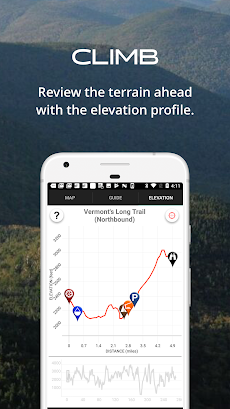

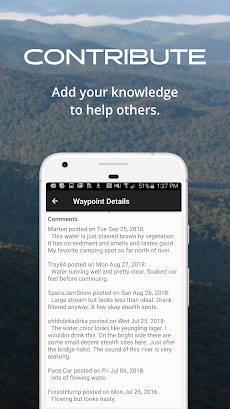
「Guthook's Long Trail Guide」は、AtlasGuidesが配信する地図/旅行アプリです。
このアプリの話題とニュース
新バージョン7.3.4が配信開始。新機能や改善アップデートがされています。
最新更新情報
version7.3.4が、2021年9月22日(水)にリリース
|
5つ星
38
4つ星
8
3つ星
0
2つ星
0
1つ星
1
|
Guthook's Long Trail GuideのAndroidアプリランキングや、利用者のリアルな声や国内や海外のSNSやインターネットでの人気状況を分析しています。
|
|
※この結果はGuthook's Long Trail Guideのユーザー解析データに基づいています。

¥1,020→¥714 : 政治・軍事の政略立て、建築と人口増加をさせながら国を発展させていく、文明発展ドイツボードゲーム『スルー・ジ・エイジス(Through the Ages)』が期間限定値下げ!
2024年04月19日 00:25

ゾンビを増やし、兵士を増やしながら突き進んでいく、縦スクロールランアクションゲーム『ラストウォー:サバイバル』が無料ゲームの注目トレンドに
2024年04月17日 12:00

【新作】固有スキルを持つ星霊と呼ばれる美少女を率い、ロボットとともに、人類の敵である災械と戦う、サイドビュー型ターン制バトルRPG『熱戦少女』のAndroid版がリリース!
2024年04月16日 19:00

物語が進むにつれ、モノクロからカラー・3Dへと表現変わる、ゲームの歴史の変遷と追憶が楽しめる、新進気鋭の本格アクションRPG『Evoland(エボランド)』がゲームアプリ内で話題に
2024年04月18日 21:00

【新作】人狼が滅亡した世界で、城の中に作られた秘密の研究所を探し出し、父親の野望を食い止める、古城ミステリー脱出ゲーム『孤城のスカーレット』のAndroid版が配信開始!
2024年04月17日 13:00
