アプリオンは、世界のアプリランキングや口コミから、おすすめアプリをまとめている人気アプリ探しサイトです。

Garmin Pilot [iPhone]

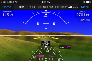
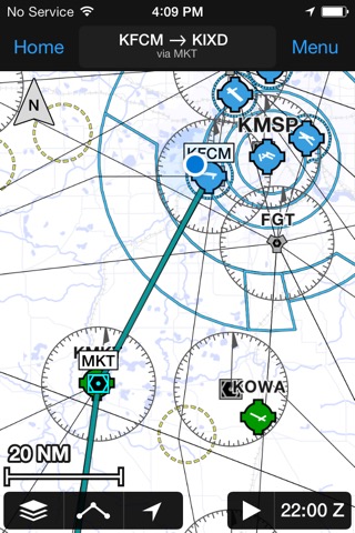
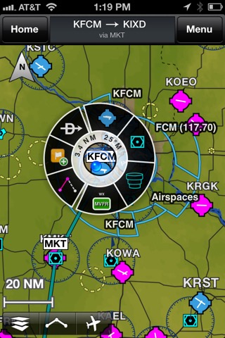
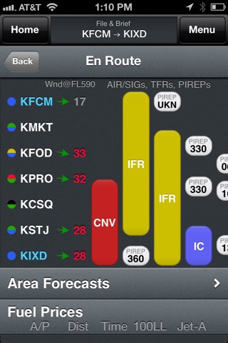
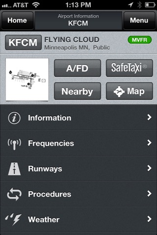
Garmin DCIが配信するiPhoneアプリ「Garmin Pilot」の評価や口コミやランキング推移情報です。このアプリには「天気」「ナビゲーション」などのジャンルで分類しています。APPLIONでは「Garmin Pilot」の他にもあなたにおすすめのアプリのレビューやみんなの評価や世界ランキングなどから探すことができます。

Garmin Pilot

無料  iPhone / iPad対応 WiFiダウンロード 天気 ナビゲーション 64bit 4.5 売上順位:天気 15位 (iPhone)

89
Trend
  • 入賞・受賞歴 月間天気部門最高ランキング 115位を獲得!(4/14)
Garmin Pilotのおすすめ画像1
Garmin Pilotのおすすめ画像2
Garmin Pilotのおすすめ画像3
Garmin Pilotのおすすめ画像4
Garmin Pilotのおすすめ画像5
<
>

Garmin DCIの天気アプリ

「Garmin Pilot」は、Garmin DCIが配信する天気アプリです。

天気 ナビゲーション

このアプリの話題とニュース

  • 新バージョン24.4.1が配信開始。新機能や改善アップデートがされています。(4/23)


  • 2014年7月17日(木)にiPhoneとiPad両対応のユニバーサルアプリとしてリリース!


このレビュアーのおすすめコメント

以前は、日本語・漢字表記のUser WPTが作れたのですが、数年前からアルファベットと数字のみ対応となりました。
めちゃくちゃ不便です。
改修お願いします。

それ以外は、日本では使えない機能もあるものの、VFR小型ヘリコプター運航者として大変満足です。
今後とも期待しています。
USER WPT - ★★★★★

最新更新情報

version24.4.1が、2024年4月23日(火)にリリース

- Resolved AIRMET issue time bug
- Fixed erroneous chart download required message for users with multiple regions
- Made minor light / dark color mode adjustments
- Resolved the display of ownship tail for ADS-B traffic

使い方や遊び方

*30 Days Free Trial on initial download!*


Plan. File. Fly. Log.


Garmin Pilot is the most comprehensive suite of tools for the iPad designed specifically for general aviation and corporate pilots. Flight planning, charts, interactive maps, weather briefing resources and navigation capabilities; it’s all included. The app’s intuitive interface mirrors those on the newest Garmin touchscreen avionics so you can go seamlessly from preflight to inflight.


Plan


Garmin Pilot’s powerful capabilities start with pre-flight planning, providing pilots with the most comprehensive aviation weather information to make better-informed flight decisions. Pilots can check NEXRAD radar, visible and infrared cloud imagery, METARs, TAFs, AIRMETs, SIGMETs, PIREPs, NOTAMs, winds and temperature aloft, TFRs and lightning data. With Garmin Pilot, data can be displayed over Garmin’s interactive maps that support track-up navigation, VFR sectional or an IFR low or high en-route chart to visualize the weather for your route. Add text-based weather widgets and use the exclusive NavTrack feature to view weather along the planned route.


File


With Garmin Pilot, users can easily enter a flight plan and interactively edit it on the map. Pre-loaded forms make it quick to save and reuse data for frequently flown routes. And when the flight plan is ready, Garmin Pilot makes it simple to file, amend or close the flight plan via Leidos Flight Service or DUATS.


Fly


Garmin Pilot provides full en-route navigation capability on its moving map. Pilots can also navigate with Garmin’s patented panel, a GPS-driven instrument pack with a graphical HSI directional display and indicators for groundspeed, altitude and vertical speed. After takeoff, pilots can continue to view real-time weather in the U.S. and traffic information by wirelessly connecting to Garmin’s GDL 39 3D portable ADS-B Receiver (sold separately).


Log


Garmin Pilot includes a comprehensive electronic logbook that syncs with flyGarmin. The logbook automatically generates entries based upon GPS data collected during the flight, tracks currency, supports manual entries, endorsements and creates reports.


Garmin Pilot U.S. Standard:


- Rich, interactive maps support Track-Up navigation
- Charts: VFR Sectionals, low and high IFR en-route, airport diagrams and approach procedures
- Ability to view Jeppesen Terminal Charts (Jeppesen echart subscription required)
- Weather Maps: Animated radar, Infrared and Visible Satellite, AIRMETs, SIGMETs, Lightning, TFRs and more!
- Extensive text products: METARs, TAFs, Winds Aloft, PIREPs, AIRMETs, SIGMETs, Area Forecasts and NOTAMs
- AOPA Airport Directory
- Weight and Balance
- Checklists
- Flight plan filing via Leidos Flight Services
- Garmin patented navigation panel
- Terrain and Obstacles
- Smart Airspace
- Fast Find predictive Waypoint Entry
- Logbook
- Optional VFR Premium: Synthetic Vision (SVX), Terrain and obstacle alerting, and Garmin SafeTaxi®
- Optional IFR Premium: VFR Premium plus geo-referenced Garmin FliteCharts®


Garmin Pilot has regional offerings for Africa, Asia, Australia, Canada, Europe and Latin America. Features include:


- Worldwide Jeppesen NavData
- Rich, interactive maps support Track-Up navigation
- Radar and Satellite imagery for Western Europe, U.S., Canada and Australia
- Ability to view Jeppesen Terminal Charts (Jeppesen echart subscription required)
- Worldwide METARs, TAFs, AIRMETs, SIGMETs, NOTAMs and winds aloft
- VFR Flight Plan Filing
- IFR autorouting and Flight plan filing in Europe
- Terrain and Obstacles with alerting
- Synthetic Vision (SVX)
- Smart Airspace
- Logbook
- Optional VFR charts from DFS, IGN and NATS and IFR enroute charts from EuroControl
- Optional Garmin FliteCharts® and SafeTaxi® diagrams available on a country-by-country basis


*Note: Use of GPS running in the background may decrease battery life.*
*Note: One subscription to Garmin Pilot may be used on three devices.*

カスタマーレビュー・評価

4.5
5つ星
 
28
4つ星
 
6
3つ星
 
2
2つ星
 
3
1つ星
 
0

最新ストアランキングと月間ランキング推移

Garmin PilotのiPhoneアプリランキングや、利用者のリアルな声や国内や海外のSNSやインターネットでの人気状況を分析しています。

基本情報

仕様・スペック

対応OS
15.4 以降
容量
385 M
推奨年齢
全年齢
アプリ内課金
あり
更新日
2024/04/23

リリース日
2014/07/17

集客動向・アクティブユーザー分析

オーガニック流入


アクティブ率


※この結果はGarmin Pilotのユーザー解析データに基づいています。

アプリ内課金の売れ筋ランキング

  • 1位: Pilot Asia Standard (15000円)

  • 2位: Asia Premium Upgrade (11000円)

  • 3位: U.S. Standard (15000円)

  • 4位: Worldwide Premium (90000円)

  • 5位: U.S. Premium Upgrade (15000円)

  • 6位: Canada Standard (15000円)

  • 7位: Europe Standard (15000円)

  • 8位: Latin American Standard (15000円)

  • 9位: Latin American Premium Upgrade (11000円)

  • 10位: Europe Premium Upgrade (11000円)

利用者の属性・世代

アプリ解析デモグラフィックデータ(男女年代比率52%)

ででんでんででん、ででんでんででん

デモグラフィックデータを元にユーザー層の性別や年齢分布などを考慮して推定しています。

ネット話題指数

開発会社の配信タイトル

このアプリと同一カテゴリのランキング

ジブリの食卓 天空の城ラピュタ
スタジオジブリ
amazon

新着おすすめアプリ

新着おすすめアプリ >

注目まとめ

iPhoneアプリまとめ >

ダウンロード数が多いおすすめアプリ

無料ゲームアプリランキング >