アプリオンは、世界のアプリランキングや口コミから、おすすめアプリをまとめている人気アプリ探しサイトです。
アプリオンは、世界のアプリランキングや口コミから、おすすめアプリをまとめている人気アプリ探しサイトです。
「Guthook's John Muir Trail Guide」は、AtlasGuidesが配信する地図/旅行アプリです。

Guthook's John Muir Trail Guide
AtlasGuides
¥2,260
Android対応
旅行&地域
|
60 Trend |


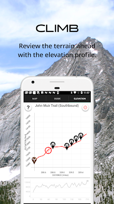

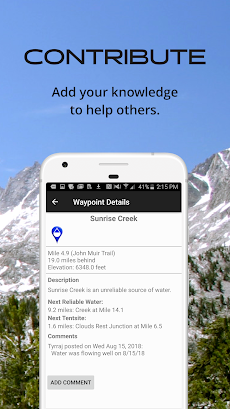
「Guthook's John Muir Trail Guide」は、AtlasGuidesが配信する地図/旅行アプリです。
このアプリの話題とニュース
20代の女性層に人気の傾向にあります。
レビュースコア4.5をマークしている高評価の優良アプリです。(4/14)
新バージョン7.3.4が配信開始。新機能や改善アップデートがされています。
最新更新情報
version7.3.4が、2021年9月22日(水)にリリース
|
5つ星
67
4つ星
5
3つ星
1
2つ星
2
1つ星
1
|
Guthook's John Muir Trail GuideのAndroidアプリランキングや、利用者のリアルな声や国内や海外のSNSやインターネットでの人気状況を分析しています。
|
|
※この結果はGuthook's John Muir Trail Guideのユーザー解析データに基づいています。

¥110→¥30 : ダンジョン探索をしながらレベルを上げる、2D横スクロールアクションRPG『月の伝説』が73%オフの大幅値下げ!
2024年04月19日 00:25

ドラゴンが住む古城の謎を解き、城から抜け出す、エスケープキャッスルゲーム『ドラゴンのお城』が無料ゲームの注目トレンドに
2024年04月16日 13:00

閉じ込められて助けを求めてかかってくる「電話の声」を頼りに、遠隔にアドバイスをして事件の謎を解く、新感覚ボイスサウンドアドベンチャーゲーム『コエヲタヨリニ。 脱出ゲーム/声×脱出』がネットで話題に
2024年04月18日 20:00

【新作】意味深な絵画が飾られた、古びた洋館から抜け出す、謎解き館脱出ゲーム『絵画の館からの脱出』のAndroid版がリリース!
2024年04月18日 13:00

【新作】固有スキルを持つ星霊と呼ばれる美少女を率い、ロボットとともに、人類の敵である災械と戦う、サイドビュー型ターン制バトルRPG『熱戦少女』のAndroid版がリリース!
2024年04月16日 19:00
