アプリオンは、世界のアプリランキングや口コミから、おすすめアプリをまとめている人気アプリ探しサイトです。
アプリオンは、世界のアプリランキングや口コミから、おすすめアプリをまとめている人気アプリ探しサイトです。
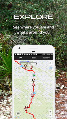
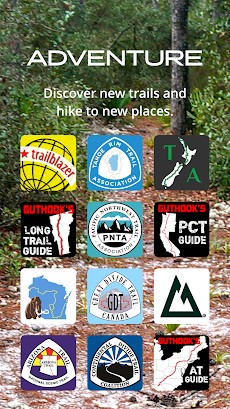
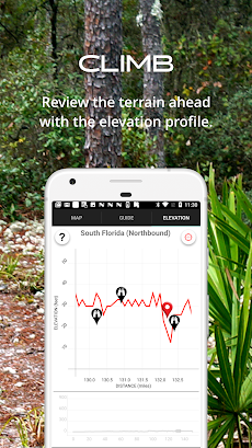
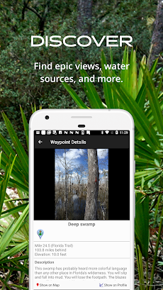
「The Florida Trail Guide」は、AtlasGuidesが配信する地図/旅行アプリです。

The Florida Trail Guide
AtlasGuides
無料
Android対応
旅行&地域
|
60 Trend |
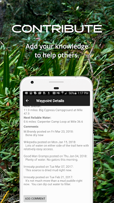
「The Florida Trail Guide」は、AtlasGuidesが配信する地図/旅行アプリです。
このアプリの話題とニュース
1万ダウンロード突破!
平均スコア4.0を超える満足度の高いアプリで利用者に好評です。(4/25)
100人を超える、評価・クチコミ投稿者数となっています。(4/25)
新バージョン7.3.2が配信開始。新機能や改善アップデートがされています。
最新更新情報
version7.3.2が、2021年9月22日(水)にリリース
|
5つ星
132
4つ星
13
3つ星
3
2つ星
5
1つ星
19
|
The Florida Trail GuideのAndroidアプリランキングや、利用者のリアルな声や国内や海外のSNSやインターネットでの人気状況を分析しています。
|
|
※この結果はThe Florida Trail Guideのユーザー解析データに基づいています。

¥800→¥270 : 魔法のフルートの謎を解き明かすために、妖精たちが、不思議な宇宙にある9つの世界を冒険する、美麗謎解き探索アドベンチャーゲーム『Samorost 3 (サモロスト3)』が67%オフの大幅値下げ!
2024年04月24日 00:25

【新作】ラバースーツに身を包んだ女剣士が、敵軍事施設に潜り込み、パーフェクトガードやコンボを決めて敵兵士を殲滅していく、3D斬撃アクションゲーム『Miya』のAndroid版がリリース!
2024年04月23日 18:00

大学毎のシラバスに基づいて講義が登録できる、大学生専用の時間割アプリ『Penmark(ペンマーク)』が無料アプリのマーケットトレンドに
2024年04月22日 08:00

美少女姫が力を合わせ、ダンジョンに住まう悪しきモンスターに挑む、行動ゲージ型サイドビュータイミングバトルRPG『ダンジョンプリンセス3』が面白いと注目される
2024年04月22日 20:00

週刊ヤングジャンプの最新話から歴代の名作まで読める、ヤンジャンの公式コミックアプリ『ヤンジャン!』がネットで話題に
2024年04月25日 14:00
